
LiDAR & 3D Modelling

Ground under vegetation, line corridors and structure scanning

LiDAR & 3D Modelling

32-channel LiDAR at 240k points/s: dense 3D data for forested terrain, power-line corridors and complex structures.

From 520 TRY per hectare

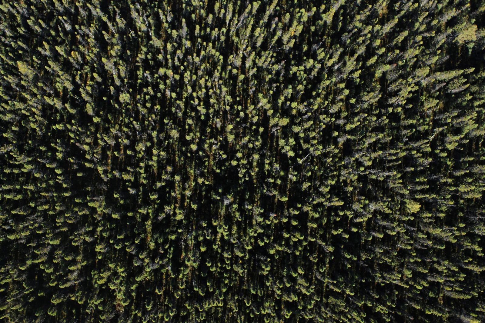
Photogrammetry cannot see the ground under vegetation; LiDAR lets part of its laser pulses pass between leaves to produce a true terrain model (DTM). That makes it essential for forested terrain, high-voltage lines and road corridors.

Use cases

  • Power-line corridors: tree-to-conductor clearance analysis
  • Forest inventory and canopy height models
  • Road, railway and pipeline route engineering
  • BIM-ready 3D models of heritage buildings and facilities

Delivery

You receive a classified LAS/LAZ point cloud, DTM/DSM, sections and profiles, plus a 3D model in IFC/RVT format where required.

Accuracy and timing

With GNSS/IMU integration the system achieves 3 cm horizontal and 5 cm vertical accuracy. Up to 300 hectares can be scanned a day; processing takes 3–7 working days depending on project size.

Scope of service

  • Ground classification
  • Line corridor analysis
  • BIM-ready output
  • Millimetre-level repeatability

LiDAR & 3D Modelling — get a quote

Fill in the form and we will get back to you as soon as possible.

Frequently asked questions

Which permits are required for commercial drone flights?
Depending on weight and operation type you need SHGM UAS registration, a pilot certificate, operator authorisation and liability insurance. Additional coordination applies in military restricted areas and urban zones. Kartalay handles the entire process; you only share the site information.
How accurate is the mapping?
With RTK/PPK and ground control points we target 2–3 cm horizontal and 3–5 cm vertical RMSE. Achieved values are measured against independent check points and reported on every project.
How many hectares can you map in a day?
With the KS-2 fixed wing we capture 450–600 hectares a day; multirotors deliver 150–250 hectares of orthophoto. Terrain, wind and target resolution affect this.
How does weather affect flights?
Rain, wind above 10 m/s and poor visibility stop flights. Thermal jobs need clear sunny hours, spraying needs low wind. No extra fee is charged for flights postponed because of weather.
What faults can thermal inspection detect?
We detect hot spots, partial shading, bypass diode failures, loose connections, soiling and insulation losses. Each finding is listed with GPS coordinates, temperature delta and a recommended action.
WhatsApp +90 222 555 28 40 info@kartalay.com.tr