Agricultural Spraying & Precision Farming

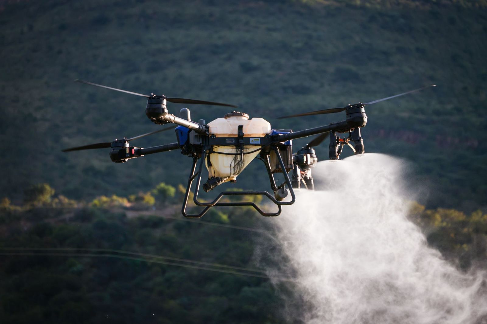
Variable-rate application with 40 L and 20 L agricultural drones

Agricultural Spraying & Precision Farming

Spraying and fertilising up to 100 decares an hour with registered products, plus NDVI-based prescription maps.

From 95 TRY per decare

Agricultural drones apply products without damaging crops or compacting soil, even on wet, muddy or sloping fields. Flying close to the canopy reduces drift and uses up to 30% less water than a conventional sprayer.

Services

  • Cotton, maize, wheat, sunflower, vineyard and orchard spraying
  • Foliar fertiliser and biological product application
  • Stress-zone detection through NDVI and multispectral mapping
  • Variable-rate prescription maps (VRA) and application logs

Safety and traceability

Only products registered by the Ministry of Agriculture and Forestry are applied, at label dose. Wind, temperature and humidity are logged for every flight and buffer zones next to neighbouring parcels are set by GPS. The application report is delivered with agronomist sign-off.

Who is it for?

It suits growers working large plains, cooperatives and contract-farming companies. The application calendar is planned together at the start of the season, and priority slots are reserved for critical periods such as flowering and pre-harvest.

Scope of service

  • 40 L tank, up to 100 decares an hour
  • Up to 30% water saving
  • Variable-rate prescription
  • Agronomist-signed report

Agricultural Spraying & Precision Farming — get a quote

Fill in the form and we will get back to you as soon as possible.

Frequently asked questions

Which permits are required for commercial drone flights?
Depending on weight and operation type you need SHGM UAS registration, a pilot certificate, operator authorisation and liability insurance. Additional coordination applies in military restricted areas and urban zones. Kartalay handles the entire process; you only share the site information.
How accurate is the mapping?
With RTK/PPK and ground control points we target 2–3 cm horizontal and 3–5 cm vertical RMSE. Achieved values are measured against independent check points and reported on every project.
How many hectares can you map in a day?
With the KS-2 fixed wing we capture 450–600 hectares a day; multirotors deliver 150–250 hectares of orthophoto. Terrain, wind and target resolution affect this.
How does weather affect flights?
Rain, wind above 10 m/s and poor visibility stop flights. Thermal jobs need clear sunny hours, spraying needs low wind. No extra fee is charged for flights postponed because of weather.
What faults can thermal inspection detect?
We detect hot spots, partial shading, bypass diode failures, loose connections, soiling and insulation losses. Each finding is listed with GPS coordinates, temperature delta and a recommended action.
WhatsApp +90 222 555 28 40 info@kartalay.com.tr