

KR-4 Mini Map
Light-class RTK mapping aircraft: 20 MP 1-inch mechanical-shutter camera, 38 minutes of flight.
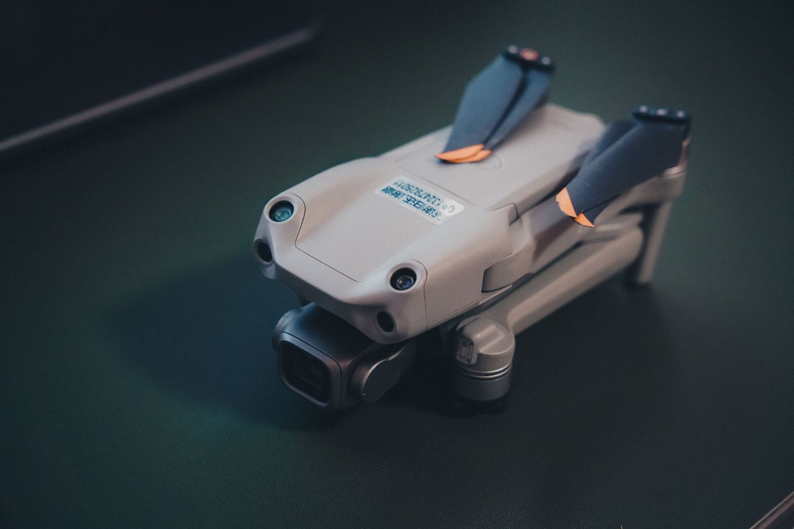
The mechanical-shutter camera eliminates motion blur and rolling-shutter distortion, raising photogrammetric accuracy. Its foldable frame lets you pack it in a case and be ready on site in five minutes.
Accuracy
RTK delivers 3–5 cm without ground control points and down to 2 cm horizontally with them. A single battery yields 80–100 hectares of orthophoto.
Ideal for urban sites, narrow terrain and small-to-medium cadastral updates.
Key features
- RTK/PPK module
- Mechanical shutter
- Foldable frame, 3.6 kg
- Automatic 3D flight planning
Technical specifications
| Take-off weight | 3,6 kg |
|---|---|
| Max speed | 16 m/sn |
| Image sensor | 1 inç CMOS, 20 MP |
| GSD (100 m) | 2,7 cm/piksel |
| Wind resistance | 10 m/sn |
Documents
Similar items
KV-3 Hybrid
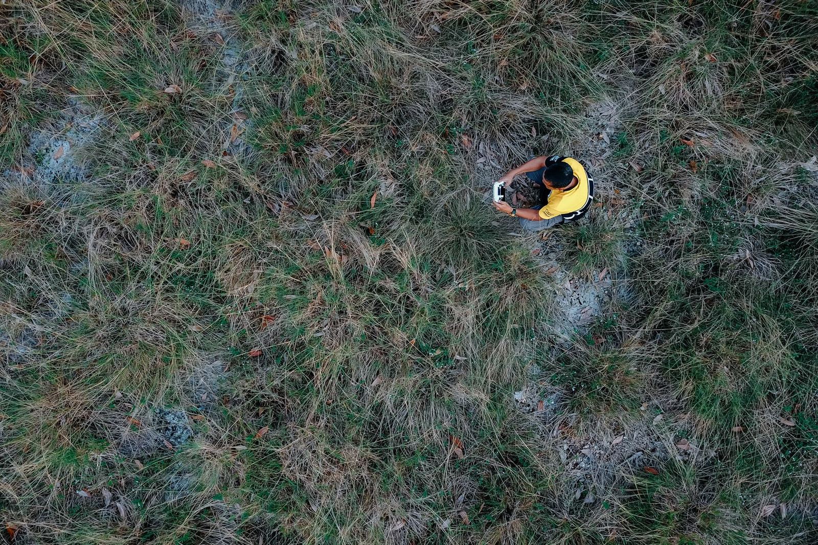
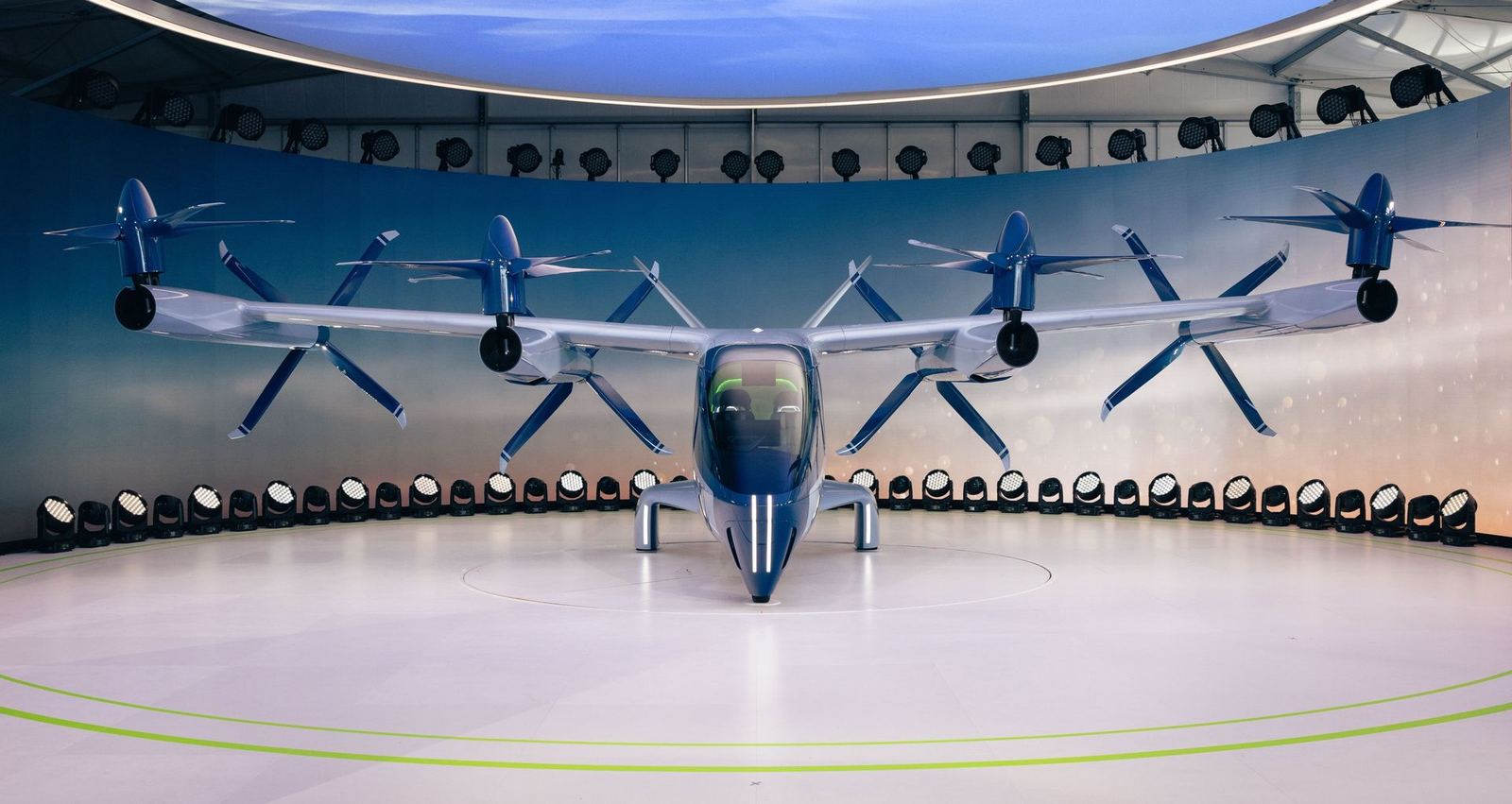
VTOL fixed wing: vertical take-off with 3 hours of flight, 60 km data link, BVLOS-ready.
- Aircraft type
- VTOL hybrid
- Flight time
- 180 min
- Operating range
- 60 km
- Sensor
- Interchangeable: 61 MP RGB / thermal / LiDAR
KX-8 LiDAR
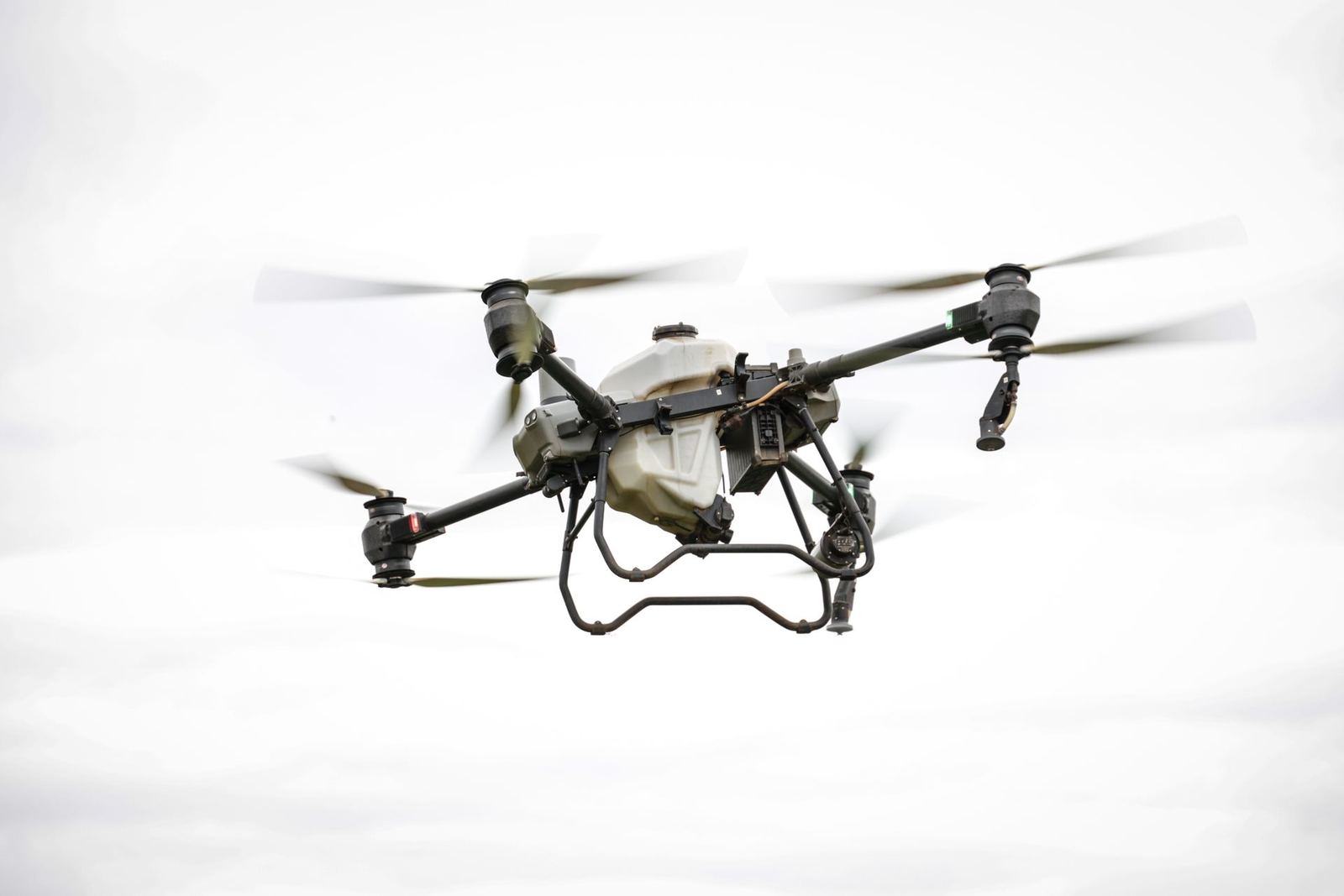
Eight-rotor LiDAR platform: 32 channels, 240k points/s, 42 minutes of flight.
- Aircraft type
- Multirotor
- Flight time
- 42 min
- Operating range
- 10 km
- Sensor
- 32-channel LiDAR + 26 MP RGB