
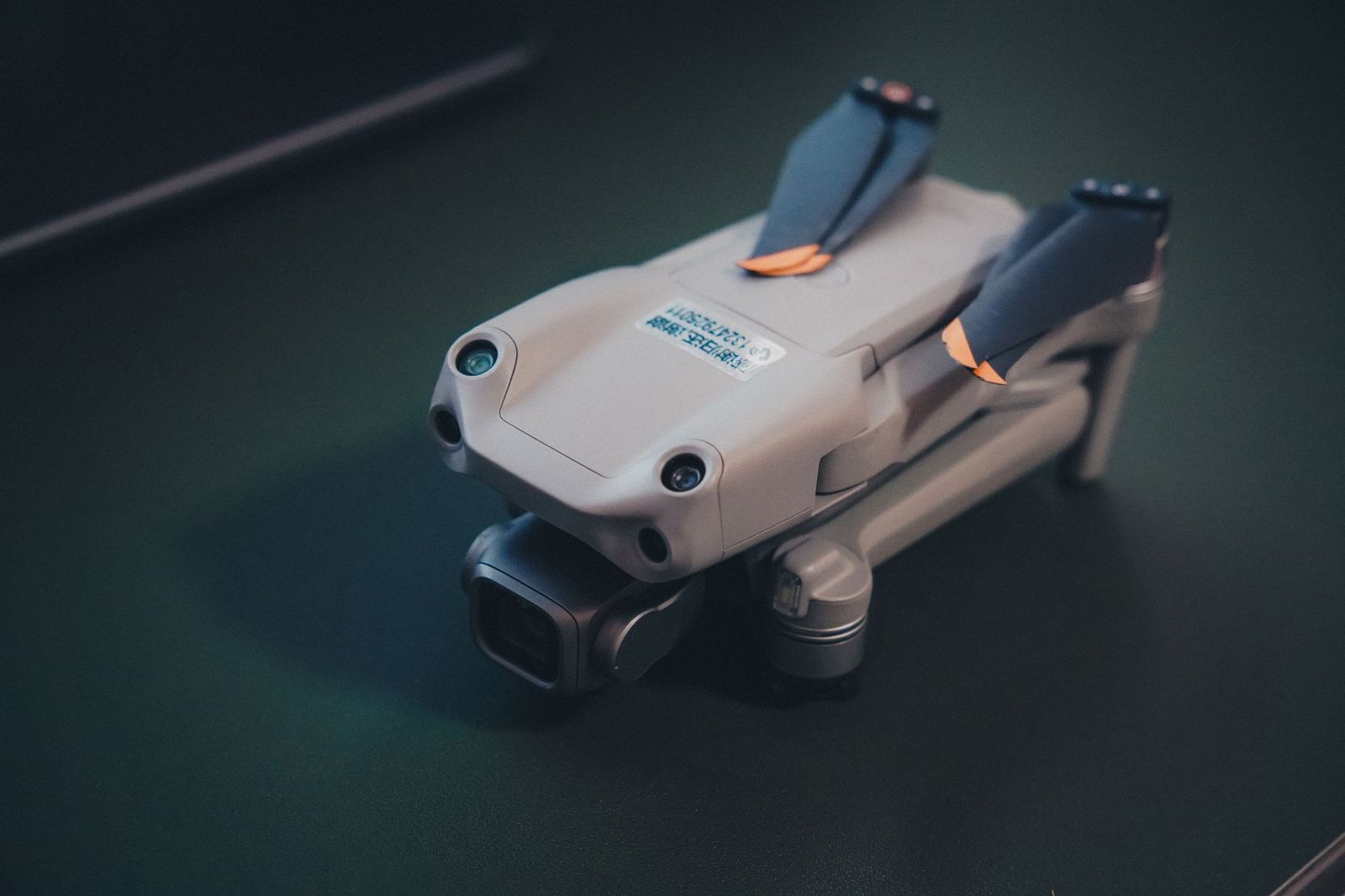
KR-4 Mini Map
Light-class RTK mapping aircraft: 20 MP 1-inch mechanical-shutter camera, 38 minutes of flight.
- Aircraft type
- Multirotor
- Flight time
- 38 min
- Operating range
- 8 km
- Sensor
- 20 MP 1-inch mechanical shutter
VTOL fixed wing: vertical take-off with 3 hours of flight, 60 km data link, BVLOS-ready.
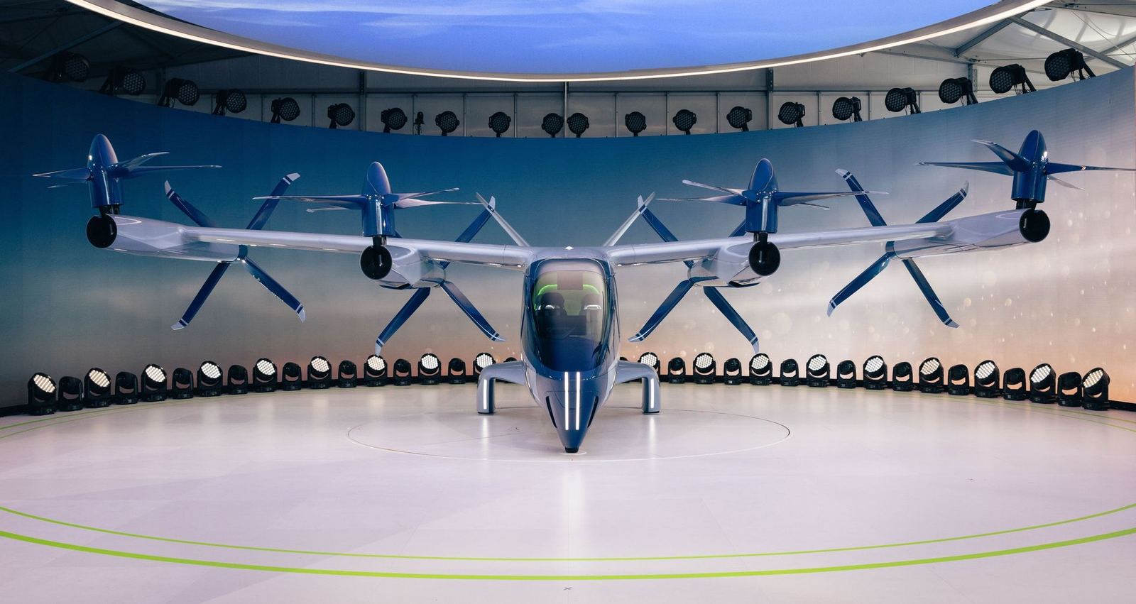
The KV-3 combines runway-free vertical take-off with fixed-wing range. On corridor jobs such as pipelines, railways, border security and forest-fire monitoring, up to 150 km of line can be scanned in one go.
RGB, thermal or LiDAR modules mount under the fuselage. Dual GNSS and a redundant telemetry link make it BVLOS-capable once the required authorisations are obtained.
Operations are scheduled only once the authorised permits and insurance cover are complete.
| Wingspan | 3,1 m |
|---|---|
| Take-off weight | 11,5 kg |
| Cruise speed | 20 m/sn |
| Data link | 60 km, 2,4/5,8 GHz |
| Wind resistance | 14 m/sn |
Light-class RTK mapping aircraft: 20 MP 1-inch mechanical-shutter camera, 38 minutes of flight.
Eight-rotor LiDAR platform: 32 channels, 240k points/s, 42 minutes of flight.