
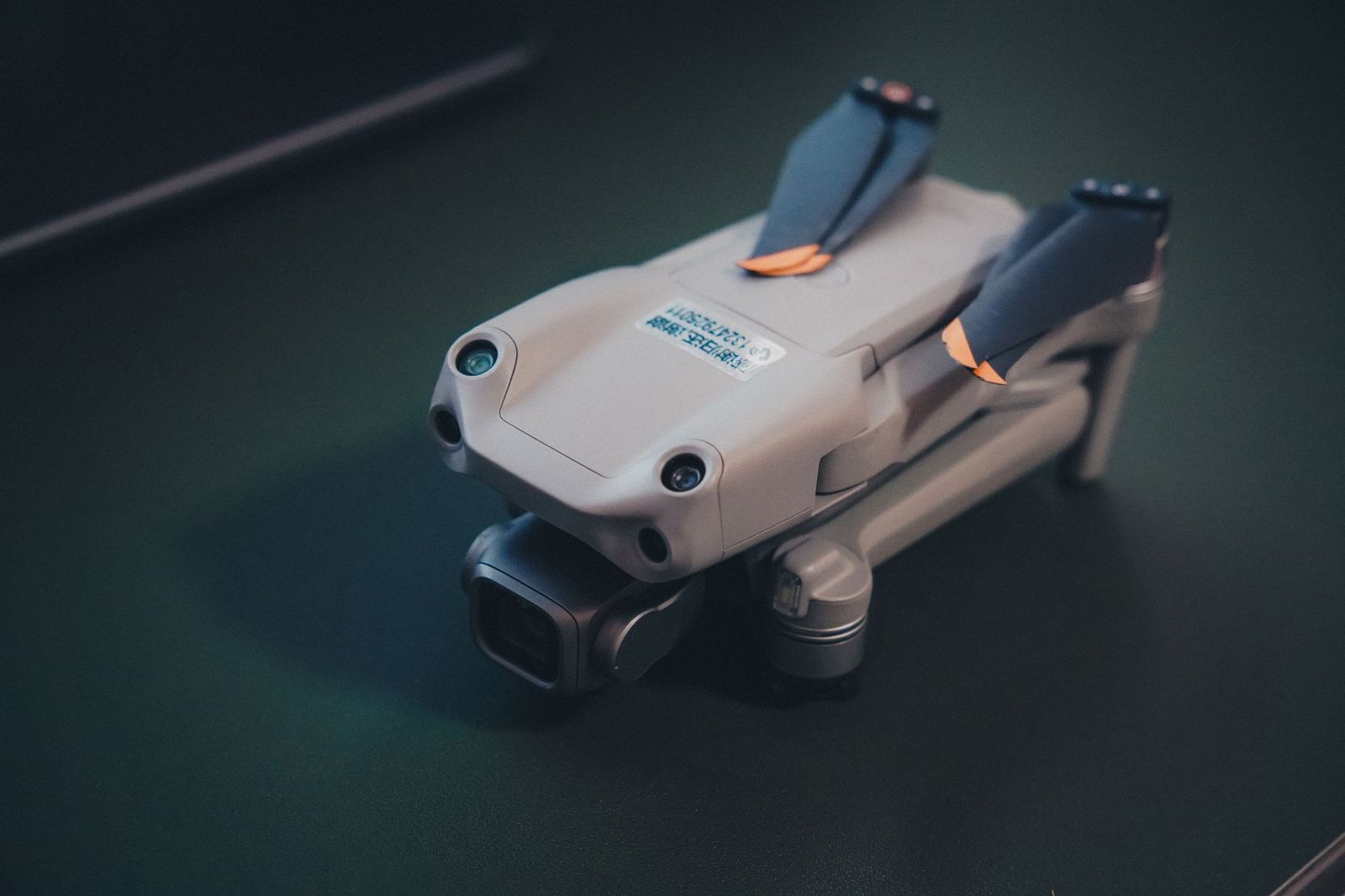
KR-4 Mini Map
Light-class RTK mapping aircraft: 20 MP 1-inch mechanical-shutter camera, 38 minutes of flight.
- Aircraft type
- Multirotor
- Flight time
- 38 min
- Operating range
- 8 km
- Sensor
- 20 MP 1-inch mechanical shutter
Fixed-wing mapping drone: 90 minutes of flight and up to 600 hectares of orthophoto in a single flight.
This aircraft lowers mapping costs over wide, open terrain. Fixed-wing aerodynamics give three times the endurance of a multirotor. Launch and parachute or belly landing mean no runway is needed.
At 120 m altitude and 3 cm/pixel resolution it maps up to 600 hectares in a single flight. The PPK module reduces the number of control points by 70%.
Recommended for large areas such as mines, forests, farm parcels, irrigation canals and pipeline routes.
| Wingspan | 1,9 m |
|---|---|
| Take-off weight | 3,2 kg |
| Cruise speed | 17 m/sn |
| GSD (120 m) | 3 cm/piksel |
| Wind resistance | 12 m/sn |
Light-class RTK mapping aircraft: 20 MP 1-inch mechanical-shutter camera, 38 minutes of flight.
VTOL fixed wing: vertical take-off with 3 hours of flight, 60 km data link, BVLOS-ready.
Eight-rotor LiDAR platform: 32 channels, 240k points/s, 42 minutes of flight.