
Thermal Inspection
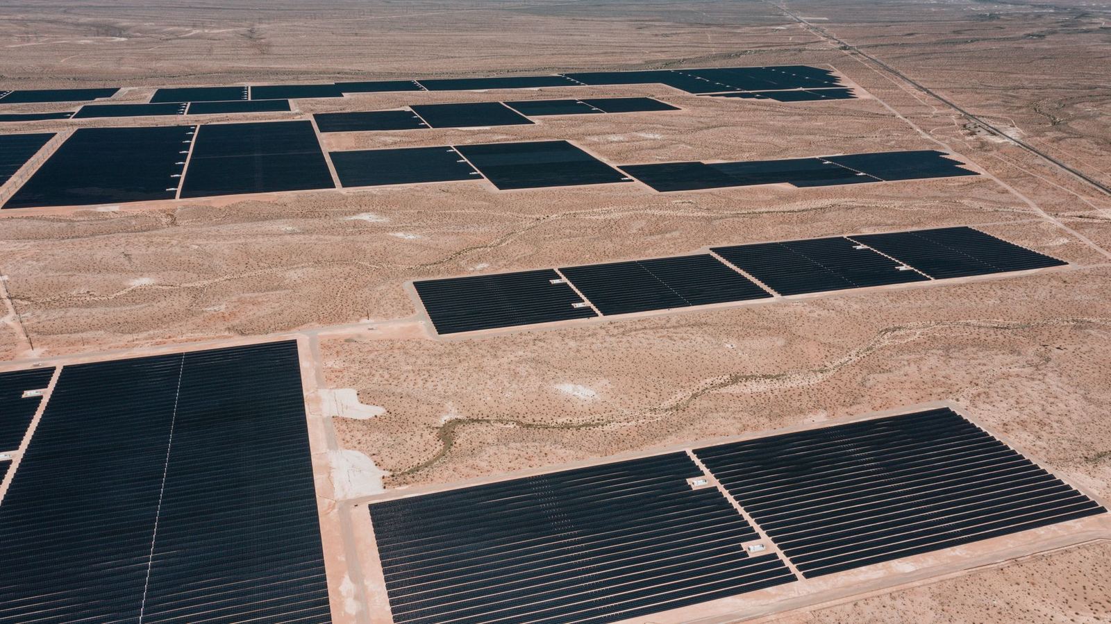
120 MW solar plant thermal inspection
Thermal scan of 248,000 modules at a 120 MW plant in Karapınar completed in three days.
View DetailsEskişehir

Orthophoto, DTM and building vectors for an industrial-zone expansion; 2.4 cm horizontal RMSE.
The planning office requested an up-to-date base for the expansion area. With the KS-2 Wing, 3,200 hectares were mapped over six flight days.
Verification with 67 independent check points measured 2.4 cm horizontal RMSE and 3.9 cm vertical RMSE.
Thermal scan of 248,000 modules at a 120 MW plant in Karapınar completed in three days.
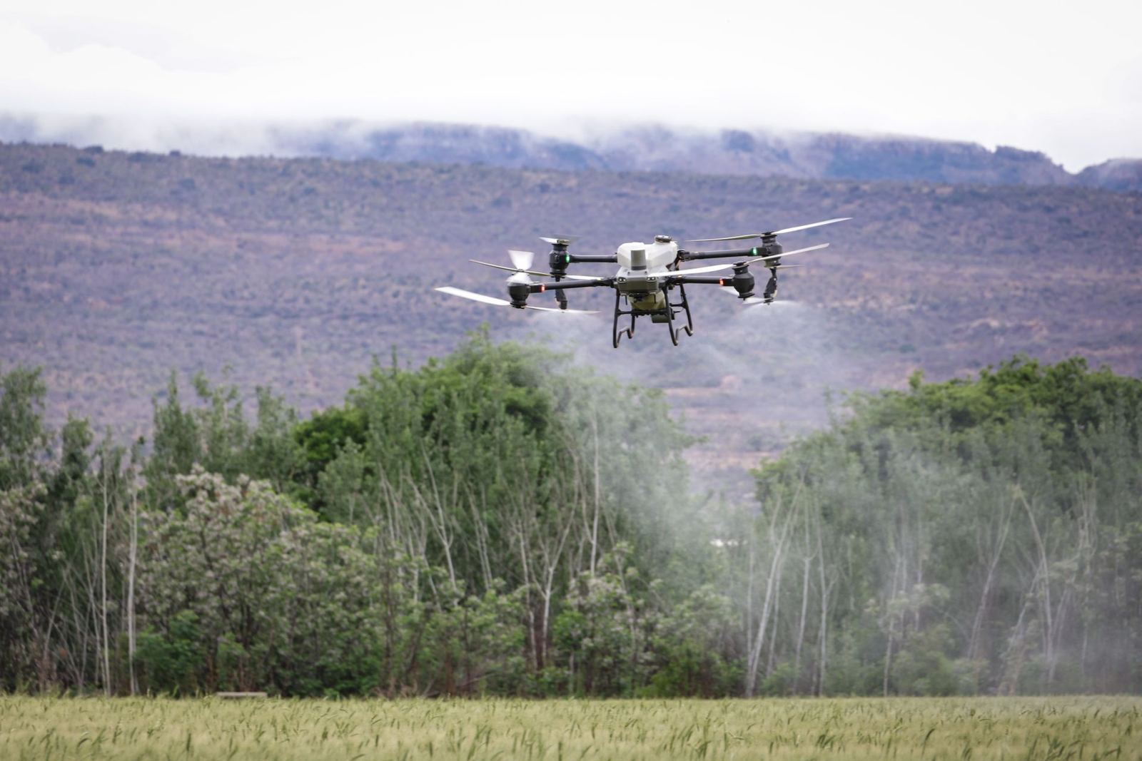
View DetailsVariable-rate application across 62 cooperative parcels in 14 days with 28% water saving.
View DetailsEleven bridge piers and two viaducts on the Bolu crossing inspected without rope access.
View DetailsShare the area, objective and timeline and an engineer will return within 24 hours with scope and pricing.